Custom Terrain Data Integration: Keeping Pace with Mining Operations
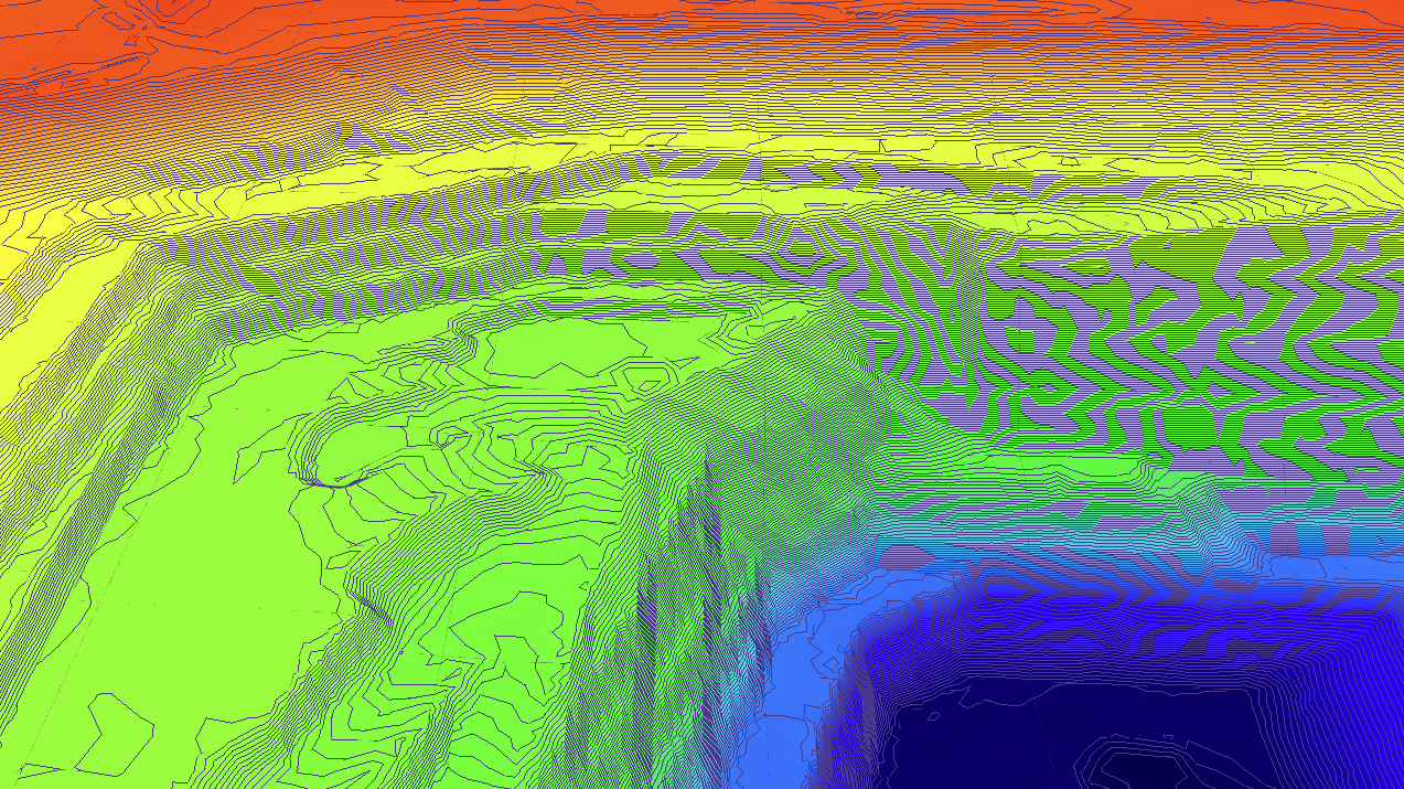
Real-time terrain monitoring in mining operations
The Challenge
Mining operations are dynamic environments where terrain changes weekly, or often over a 24hr period with a good production team.
Traditional RF planning tools rely usually on the Shuttle Radar Topography Mission (SRTM) for digital elevation model (DEM) data that was captured over two decades ago (circa 2000).
At OTmate, we understand that accurate terrain data is the foundation of reliable RF planning. That's why we've developed a comprehensive terrain data integration system that keeps pace with the rapid changes in mining environments.
Our Solution: Dynamic Terrain Integration
We know you likely have the most up to date terrain data available for your site. We support multiple terrain data formats and resolutions, ensuring that your RF planning always reflects the current state of your operation:
Supported Data Formats
- DXF files - Mining design surfaces integration from mining planning software.
- GeoTIFF - Industry-standard georeferenced imagery
- TIFF - High-resolution raster data
- ASC - ASCII grid format for elevation data
Resolution Capabilities
"Our system can process terrain data with resolutions of 2 meters or better, providing the precision needed for accurate RF modeling in complex mining environments."
Standard Resolution
30m DEM data covering all of Australia, perfect for regional planning and initial site surveys.
High Resolution
≥2m custom data for detailed modeling of specific mining areas and infrastructure.
Version Control for Forward Planning
One of our unique features is support for multiple DEM versions. This enables forward planning across year+N scenarios:
🔮 Future-Ready Planning
Upload planned terrain modifications and compare RF coverage across different timeline scenarios. Plan your infrastructure investments with confidence, knowing how terrain changes will affect your communications network.
Real-World Applications
Our customers use this capability to:
- Optimize tower & trailer placement before construction begins
- Identify coverage gaps before mining raise the issue.
- Plan equipment relocations in advance of terrain changes
- Validate RF designs against future site conditions.
OTmate Engineering Team
Specialists in RF planning and OT infrastructure monitoring
© 2025 OTmate. All rights reserved.
Related Articles
RF Planning Best Practices
Learn how to optimize your RF network design for maximum coverage and reliability.
Asset Monitoring in Mining
Discover how IoT sensors and predictive maintenance can optimize your operations.